Agricultural machinery
Digital Solutions
Service & Parts
Experience
Press
About CLAAS

Location | API-Scope

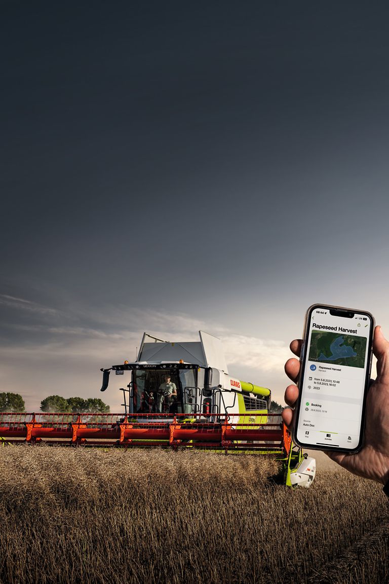
Retrieval of Field Boundaries and Operations.

Simplify the maintenance of master data. The Location API scope enables access to field boundaries and operations that customers have maintained in thier organization. This reduces the manual effort needed to maintain the master data of the operation across different software.


As a CLAAS connect API partner and with the customer's consent, the Location API scope can be used to import geo-referenced master data into your software.

The API Scope

The API uses REST services, OAuth2, and utilizes a GeoJSON data format.


Through this API scope, you can access the list of field boundaries and farms active at the desired time within the customer's organization in CLAAS connect. You have the option to retrieve all geo-referenced master data from the list, or you may select individual field boundaries based on their field ID and the associated farms.

The main use cases are:


  • Selection of a validity period
  • Retrieval of a list of all fields and farms active at the validity period including unique IDs
  • Retrieval of the entire list of fields as GeoJSON
  • Retrieval of selected fields using unique field IDs


Contact


To use the services, third-party providers must be official partners of CLAAS, as our API scopes are restrictedly accessible and not completely public. To become an official partner, you can contact us here.